Claudius Ptolemy (ca. 100–ca. 170)
Nicolaus Germanus (ca. 1420–ca. 1490), cartographer
Geographia
ca. 1460–1470
Renaissance and Medieval Manuscripts Collection, Manuscripts and Archives Division
Geographia
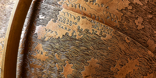
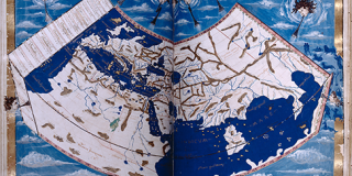
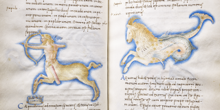
Claudius Ptolemy was a 2nd-century Greek astrologer, astronomer, cosmographer, geographer, and mathematician, considered by many to be the father of Western cartography. Also known as the Codex Ebnerianus, this lavishly illustrated manuscript copy of Ptolemy’s major work reflects the cosmographical beliefs of the Roman era, many of which were still relevant to 15th-century thought, and contains a translation from the Greek by Jacopo di Angelo da Scarperia.
One of the innovations that Ptolemy introduced in Geographia is a grid system of latitude and longitude, employed to plot the coordinates of the geographic locations of the known world, or oikumenē, derived primarily from Roman, Greek, and Persian sources. Ptolemy also revealed in this work his development of three important map projections, or mathematical methods of depicting a three-dimensional sphere on a flat surface.
: Renaissance and Medieval Manuscripts Collection, Manuscripts and Archives Divis…
Currently on View at Stephen A. Schwarzman Building
The New York Public Library believes that this item is in the public domain under the laws of the United States, but did not make a determination as to its copyright status under the copyright laws of other countries. This item may not be in the public domain under the laws of other countries. Though not required, if you want to credit us as the source, please use the following statement, "From The New York Public Library," and provide a link back to the item on our Digital Collections site. Doing so helps us track how our collection is used and helps justify freely releasing even more content in the future.


